From monitoring climate change to predicting crop yields, satellite imagery has become an essential tool for industries, governments, and researchers worldwide. By capturing high-resolution images of Earth from space, satellites provide a unique perspective that helps us make smarter, data-driven decisions.
What is Satellite Imagery?
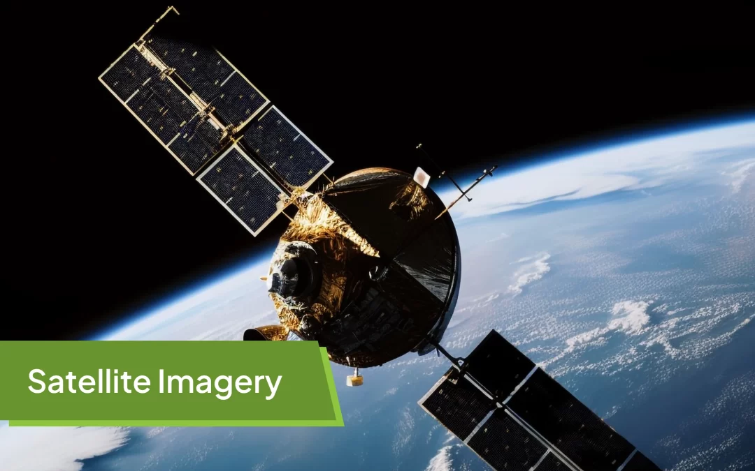
Satellite imagery refers to pictures of Earth (or other planets) taken by imaging satellites orbiting the planet. These images are captured using sensors that detect light across different parts of the spectrum—visible, infrared, thermal, and more. Depending on the sensor and resolution, satellite imagery can reveal fine details about land, water, vegetation, infrastructure, and even weather patterns.
Types of Satellite Imagery
-
Optical Imagery
Captures light in the visible spectrum, similar to how our eyes see. Useful for land use, vegetation, and infrastructure monitoring. -
Infrared Imagery
Detects heat and near-infrared light. Used to study vegetation health, water stress, and temperature variations. -
Radar Imagery (SAR – Synthetic Aperture Radar)
Penetrates clouds and works at night, making it valuable for flood mapping, soil moisture detection, and disaster monitoring. -
Thermal Imagery
Measures surface temperature, useful in studying urban heat islands, crop stress, and energy efficiency.
Applications of Satellite Imagery
Agriculture
-
Crop Monitoring: Detecting crop health, stress, and growth stages using vegetation indices like NDVI (Normalized Difference Vegetation Index).
-
Precision Farming: Farmers use satellite data to optimize irrigation, fertilizer application, and harvesting schedules.
-
Yield Prediction: Governments and agritech companies estimate crop production for food security planning.
Environmental Monitoring
-
Deforestation Tracking: Identifying illegal logging and land-use changes.
-
Water Resource Management: Monitoring lakes, rivers, and groundwater levels.
-
Climate Change Studies: Observing glacial melt, desertification, and rising sea levels.
Disaster Management
-
Flood Mapping: Detecting flood extents in near real-time.
-
Forest Fires: Identifying fire hotspots and measuring burnt areas.
-
Earthquake and Landslide Monitoring: Assessing land displacement and terrain changes.
Urban Planning and Infrastructure
-
Tracking urban sprawl and construction.
-
Monitoring road networks and transportation corridors.
-
Planning smart cities with accurate land use data.
Security and Defense
-
Border surveillance and monitoring troop movements.
-
Tracking illegal activities like smuggling or unauthorized mining.
Advantages of Satellite Imagery
-
Wide area coverage, including remote and inaccessible regions.
-
Regular updates and monitoring over time.
-
Non-intrusive data collection.
-
Multispectral and radar capabilities for diverse insights.
Challenges in Using Satellite Imagery
-
Resolution vs. Cost: High-resolution imagery can be expensive.
-
Cloud Cover: Optical imagery is limited by weather conditions.
-
Data Processing: Requires expertise and computing power to analyze effectively.
The Future of Satellite Imagery
Advances in AI, machine learning, and cloud computing are making satellite data more accessible and actionable. Startups and space agencies are launching small satellites (CubeSats) that provide more frequent imagery at lower costs. Combined with IoT and big data, satellite imagery will continue to revolutionize sectors like agriculture, environment, defense, and urban development.
Conclusion
Satellite imagery is no longer just about capturing pictures from space—it’s about transforming data into actionable insights. From improving food security to mitigating disasters and planning sustainable cities, satellite imagery has become a cornerstone of modern decision-making. As technology evolves, its applications will only expand, bringing us closer to a smarter and more resilient future.